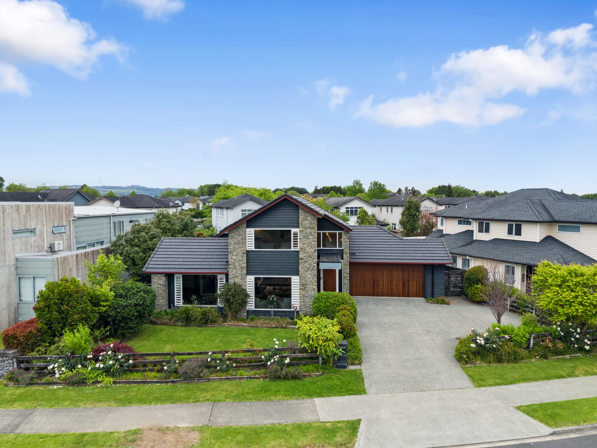
Drone photography has gone from a premium extra to a normal part of many Auckland listings. But not every property needs the same aerial coverage. Here’s how to decide what a listing needs, and what to expect from a good aerial shoot.
When aerials make the biggest difference
Larger sections and lifestyle properties. When the land is part of the value — around Karaka, Pukekohe or the rural edges of the city — an aerial is often the most important image in the set. Ground photos can’t show the size and shape of a section.
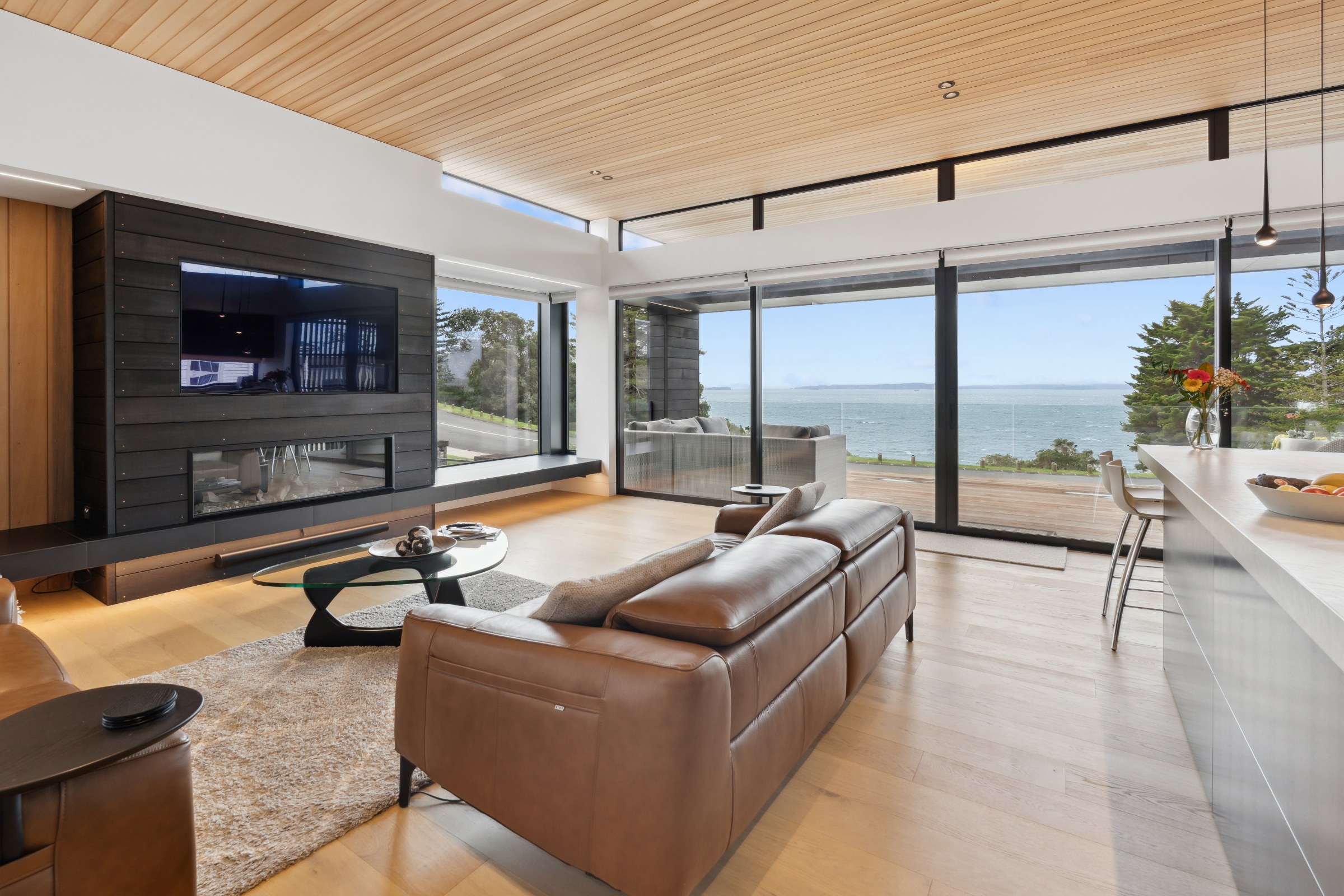
Homes with a view. Sea, bush and city outlooks are hard to capture from the ground. A drone can show the view and the home in the same frame.
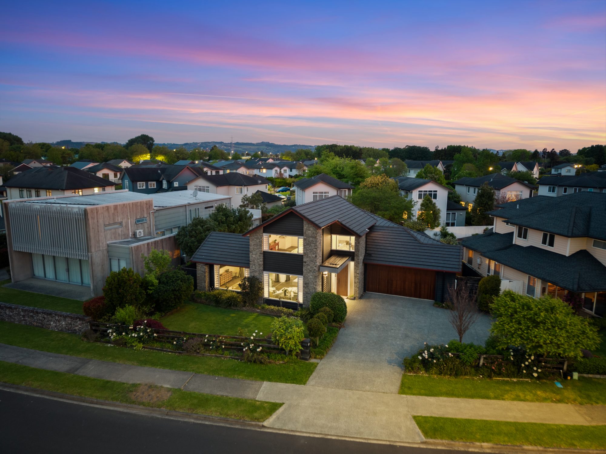
New-build streets. In growing suburbs across South and West Auckland, homes on the same street can look alike. An aerial — or a twilight aerial — gives the listing an image buyers remember.
Location stories. When the selling point is being close to a beach, a park, a school or transport, a wide aerial shows it at a glance.
What a good aerial set includes
A strong set mixes low aerials just above the roofline, which show the home itself; higher views, which show the section and its setting; and wide or top-down views, which show the neighbourhood and can carry indicative boundary lines. A handful of well-chosen aerials usually does more than a long sequence of similar shots.
Drone video
For premium homes, developments and commercial property, drone video adds movement — a reveal over the roof, a slow pull back to show the land, a pass along the street. Aerial footage is also part of most of our property films.
Airspace in Auckland
Auckland has several airports and areas of controlled airspace, including around Auckland Airport, Ardmore and Whenuapai, where drone flights are restricted or need approval. This is why it helps to send the address when you book: we check every property before the shoot and confirm what’s possible, rather than finding out on the day.
Weather
Drones need reasonable weather. Strong wind or rain can make a flight unsafe or the images poor, so aerials are planned around the forecast, and rescheduled when they need to be.
Planning the shoot
Aerials are usually captured in the same visit as the photography, so the vendor has one appointment and the whole set is delivered together — aerial photos usually within 24 hours. See drone photography in Auckland for recent work, or book a shoot.